7 OLD COMMON
Owner Information
MULHANE STUART D
7 OLD COMMON
MILLBURY, MA 01527


Property Details
7 OLD COMMON is classified as a Single Family Residential (Cape cod).
The primary structure on this property was built in 1775. There are 5,667ft2 of built area within this property. There is 2,306ft2 of residential/living space within this property. This property is listed as having 9 rooms.
7 OLD COMMON is valued at $449,200. The land is valued at $91,300 and the structures are valued at $346,500. There is an additional valuation of $11,400 on this property.
The most recent deed for 7 OLD COMMON is recorded at the local registrar in Book 10077, Page 0326. 7 OLD COMMON was last sold on Monday, December 22, 1986 for $0.
Assessment data from fiscal year 2022.
Flood Data
According to the FEMA National Flood Hazard Layer, this property does not appear to be in a flood zone. It may also be in an area not yet reviewed. Nonetheless, confirm this information prior to taking any action.
To view the flood hazards around this property, create a FEMA "Firmette" Map of the area around 7 OLD COMMON.
Broadband Internet Providers
| Provider | Type | Bandwidth (mbps) | |
|---|---|---|---|
| Viasat Inc | Satellite | 100 | 3 |
| Verizon New England Inc. | DSL | 3 | 0 |
| Verizon New England Inc. | Fiber | 940 | 880 |
| Charter Communications Inc | Cable | 940 | 35 |
| T-Mobile | Fixed Wireless | 25 | 3 |
| GCI Communication Corp. | Satellite | 0 | 0 |
| HughesNet | Satellite | 25 | 3 |
| VSAT Systems, LLC. | Satellite | 2 | 1 |
| Crown Castle Fiber | Fiber | 0 | 0 |
Broadband service provider data from December 2020.
Adjacent Properties
- 11 OLD COMMON
Single Family Residential owned by HANKINS GRETCHEN - 9 OLD COMMON
Undevelopable Residential Land owned by CRANDALL GARY R - 9 OLD COMMON
Single Family Residential owned by CRANDALL GARY R - 5 OLD COMMON
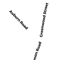
Single Family Residential owned by UPCHURCH SCOTT - 7 AUBURN RD
Single Family Residential owned by LYNSKEY BRUCE J - 9 AUBURN RD
Single Family Residential owned by WASCAVAGE PAULA M - 11 AUBURN RD
Single Family Residential owned by NARROW TRENT M